
Méret/Size (margók nélkül/without margins): 44,7×30 cm
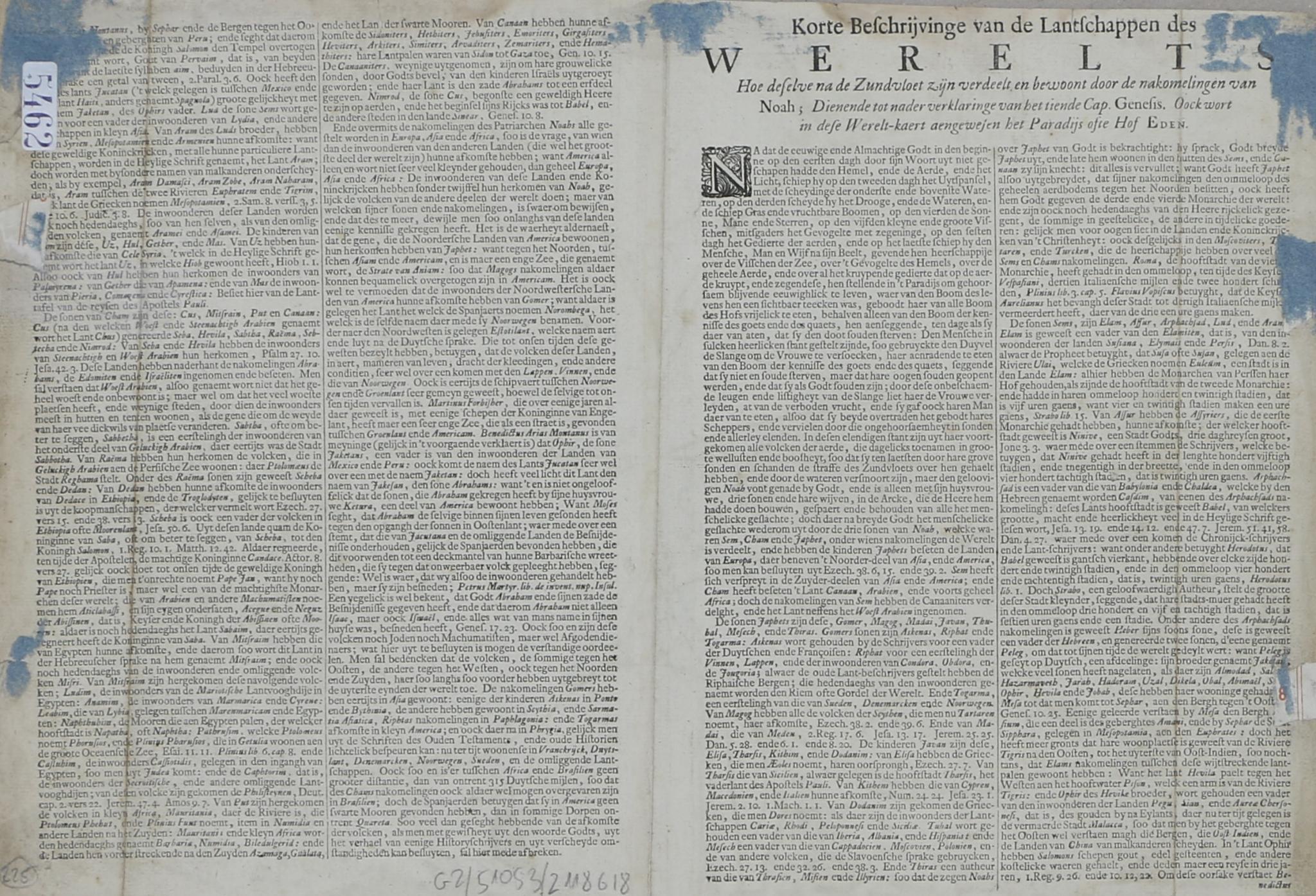
A Stoopendaal által a Keur-Bibliához készített rendkívül részletes kettős féltekés világtérkép, melyet díszes, allegorikus kartusok vesznek körül. A hátoldalon holland szöveggel.
Tételünk Nicolaas Visscher Orbis Terrarum Tabula Recens Emendata (Shirley 431, 1663) című térképén alapul, aktualizált földrajzi ismereteket tartalmaz, ugyanakkor megtartotta Visscher számos stíluselemét. Stoopendaal átdolgozásai közé tartoznak a térképészeti frissítések, valamint a kopernikuszi és ptolemaioszi naprendszerek, amelyek Visscher sarki vetületeit helyettesítik, bár érdekes módon Visscher eredeti címkéi megmaradtak. A térkép hasonlóságot mutat Pieter Goos 1666-os Orbis Terrarum Nova et Accuratissima Tabula... (Shirley 438) című térképével is, ami arra utal, hogy ez egy másik inspirációs forrásként szolgálhatott.
Figyelemre méltó az Észak-Amerika aktualizált ábrázolása, ahol Stoopendaal a lapos tetejű, szigetszerű Kalifornia konvencióját alkalmazza. A szigetként megjelenő Kalifornia mítosza Garci Rodríguez de Montalvo 1510-es Las Sergas de Esplandián című regényéből származik, amelyben Kalifornia egy olyan szigetként szerepel, amelyet amazonok laknak a földi paradicsom közelében.
A térkép másik egyedi jellemzője, hogy a Nagy-tavakat egyetlen, nyugat felé nyitott szárazföldi tengerként ábrázolja, amely ábrázolás Visscher korábbi térképeiről származik. Ez az ábrázolás nagyon hasonlít a 16. századi térképeken megjelenő, feltételezett Verrazano tengerre, amely Észak-Amerika középső részén keresztül a Csendes-óceánba nyúlik. Visscher egy latin nyelvű jegyzetet is mellékelt, amely szerint ez a tó legalább 300 mérföld hosszúságú, és ezt a leírást korábban Jodocus Hondius használta 1611-es világtérképén. A térkép későbbi kiadásai ezt a belvízi tengert a Nagy-tavak pontosabb ábrázolásával helyettesítették, tükrözve a La Salle-hoz és Hennepinhez hasonló személyiségek által vezetett európai felfedezéseket.
A Keur kiadó 70 éven át használta Daniel Stoopendaal Werelt Caert című térképét a Bibliáiban. Amikor az eredeti lemezen a kopás jelei mutatkoztak, Jan van Jagen kapott megbízást egy új változat vésésére. Ez a frissített térkép Kaliforniát helyesen félszigetként ábrázolja, számos csendes-óceáni szigetet ad hozzá, és egy átdolgozott kelet-ázsiai partvonalat is tartalmaz.
Stoopendaal térképe a dekoratív művészet és az átmeneti földrajz lenyűgöző keveréke, amely egyszerre tükrözi a világról alkotott változó képet és a korábbi térképészeti hagyományok tartós hatását.
Bal oldalon kis szakadás, verso restaurálva. Foltos.
This map, based on Nicolaas Visscher’s map 'Orbis Terrarum Tabula Recens Emendata' (Shirley 431, 1663), incorporates updated geographical knowledge while retaining many of Visscher’s stylistic elements. Stoopendaal’s revisions include cartographic updates and the addition of Copernican and Ptolemaic solar systems, replacing Visscher’s polar projections, though curiously, Visscher’s original labels remain. The map also bears resemblance to Pieter Goos's 1666 map 'Orbis Terrarum Nova et Accuratissima Tabula...' (Shirley 438), indicating it may have served as another source of inspiration.
Notable features include an updated depiction of North America, where Stoopendaal adopts the convention of an insular California with a flat top. The myth of California as an island originated from Garci Rodríguez de Montalvo's 1510 novel Las Sergas de Esplandián, where California was described as an island inhabited by Amazons near the Terrestrial Paradise. This fictional concept was reinforced when Hernán Cortés claimed Baja California for Spain, fueling cartographic representations of California as an island to assert Spanish territorial claims and counter English expansion along the Pacific coast. Despite substantial evidence by the late 16th century confirming California’s peninsular nature, the Insular California myth persisted, heavily influenced by Spanish politics. It wasn’t until Jesuit missionary Eusebio Kino’s 1705 overland explorations that California’s true geography was conclusively documented.
Another unique feature of this map is the representation of the Great Lakes as a singular inland sea open to the west, a portrayal inherited from Visscher’s earlier maps. This depiction closely resembles the speculative Verrazano Sea, a supposed body of water extending to the Pacific through central North America, which appeared on 16th-century maps. Visscher included a Latin note describing this lake as stretching at least 300 miles in length, a description previously used by Jodocus Hondius in his 1611 world map. Later editions of the map replaced this inland sea with a more accurate representation of the Great Lakes, reflecting ongoing European exploration led by figures like La Salle and Hennepin.
For 70 years, the Keur publishing family used Daniel Stoopendaal’s Werelt Caert in their Bibles. When the original plate showed signs of wear, Jan van Jagen was commissioned to engrave a new version. This updated map depicts California correctly as a peninsula, adds several Pacific islands, and features a revised East Asian coastline.
Stoopendaal’s map is a fascinating blend of decorative artistry and transitional geography, capturing both the evolving understanding of the world and the enduring influence of earlier cartographic traditions.
Small tear at the left side, others restored on verso. Some spots.