")
Hungaria
1598(?)Magyarország és Erdély miniatűr rézmetszetű, kézzel színezett térképe.
Megjelent/Published in: Epitome Theatri Orteliani...
Méret margók nélkül/Size without margins: 7,5×10,5 cm
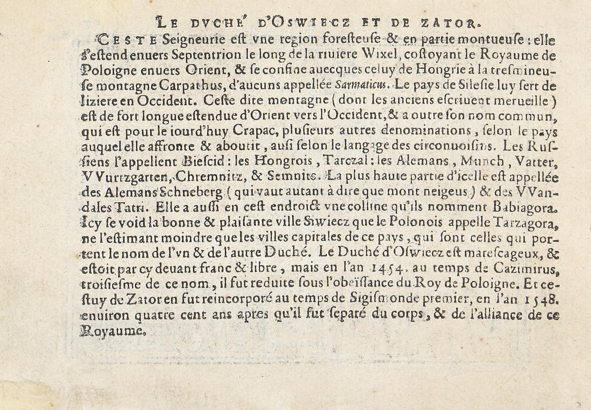
A verson francia nyelvű kísérőszöveggel az előző térképhez (Lengyelország, Oswitz és Zato hercegségei), jó állapotban.
Abraham Ortelius talán a legismertebb és leggyakrabban gyűjtött 16. századi térképész. Az első modern atlasz, a Theatrum Orbis Terrarum alkotójaként tartják számon.
1577-ben jelent meg az első "Kis Ortelius" zsebatlasz holland hátoldali szöveggel. A kiadás kezdeményezője Ortelius két barátja: Philip Galle (rézmetsző) és Pieter Heyns "költő és tanár", aki a szöveget részben vers formájában írta a térképekhez. 1579-ben jelent meg francia, 1585-ben latin, 1593-ban olasz, 1602-ben angol, 1604-ben német szöveggel. Koemann 35 kiadásról tud 1577 és 1724 között, mleyeknek zöme 1577 és 1612 között jelent meg. A kiadások gyűjtőneve Epitome.
Szántai 446.o.
With accompanying text in French on the verso to the previous map of the Dukedomes of Oswitz and Zato in Poland (modern day Auschwitz and Zator). Good condition.
Abraham Ortelius is perhaps the best known and most frequently collected of all sixteenth-century mapmakers. He is recognized as the creator of the first modern atlas, Theatrum Orbis Terrarum.
In 1577, the first 'Small Ortelius' pocket atlas was published with Dutch text on the verso. The edition was initiated by two friends of Ortelius: Philip Galle (engraver) and Pieter Heyns, a 'poet and teacher,' who wrote the accompanying text for the maps partly in verse. Subsequent editions appeared in French in 1579, Latin in 1585, Italian in 1593, English in 1602, and German in 1604. Koeman records 35 editions between 1577 and 1724, the majority of which were published between 1577 and 1612. These editions are collectively known as the Epitome.