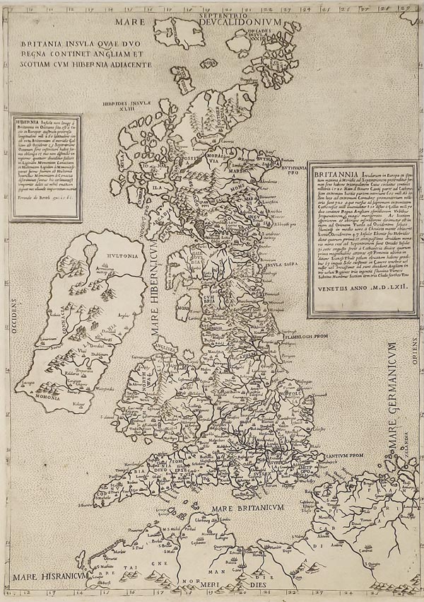
Britania Insula Quae Duo Regna Continet Angliam et Scotiam cum Hibernia Adiacente
1562 Velence152. árverés / 157.
Kikiáltási ár: 3 000 000 FtA Brit-szigetek ritka, Ferrando Bertelli által kiadott térképe. Az önállóan megjelent lap metszője a Lafreri-iskola jelentős képviselője, Paolo Forlani. Előképét a – Reginald Pole bíborossal – önkéntes római száműzetésben élő Georg Lily alkotta meg 1546-ban, aki – bár Anglia és Wales ábrázolásánál Münster művét használta – elsőként jelenítette meg a skót partvonal valódi képét (valószínűleg John Eldon és Hector Boece térképeit véve alapul). A lap névrajza is sokkal részletesebb, mint bármely korábbi kartográfiai munkán. Az aprólékos kidolgozottságú részekkel szöges ellentétben áll Írország egyszerű megjelenítése.
A Lily-féle változattal ellentétben Forlanié a manapság megszokott – észak-déli – tájolású. A cím a térképmező felső részén található, a két oldalon elhelyezett egyszerű keretekben a területek leírása kapott helyet, amelyek egyike 1561-es, a másik pedig 1562-es datálású.
Tételünk ritkaságát mutatja, hogy az elmúlt 40 év folyamán csak elvétve bukkant fel árverésen.
Mérete: 490 x 355 mm. A jobb oldali margó a keretig levágva. Paszpartuban.
Dimensions: 490 x 355 mm. Fine, clear copy with narrow margins (no margin at the right side).
