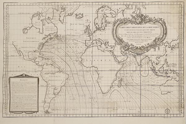
Carte Des Variations De La Boussole et Des Vents Generaux Que L'on Trouve Dans Les Mers Les Plus Frequentees... MDCCLXV
1765 P152. árverés / 176.
Kikiáltási ár: 300 000 FtJacques-Nicolas Bellin által készített világtérkép, amely az iránytű pontos használatához szükséges mágneses deklinációs vonalakat is ábrázolja. A tengeri navigáció pontosításához elengedhetetlen kutatást Edmund Halley és William Dampier kezdte el, és ennek eredményeként 1702-ben Halley publikálta is az első ilyen térképet, de hamarosan szükség lett azok felülvizsgálatára, amelyet a francia Tengerészeti Minisztérium megbízásából Bellin felügyelt. A térképmező hajózási szempontból – a francia befolyás miatt – az Atlanti- és az Indiai-óceánra fókuszál, valamint a hidrográfiai információkon kívül apró szélfejekkel az uralkodó szélirányt is jelzi. A címmezőt alkotója nagyméretű, növényi motívumokkal díszített kartusba helyezte, amely középpontjában felül a francia koronával ékesített glóbusz látható.
Dimensions: 545 x 875 (640 x 900) mm. With some water stains.
