
Szerző
Mercator, Gerard
Transylvania
1613, J. Hondius.Ár
HUF 185 000
ID
102777
A1 fiók
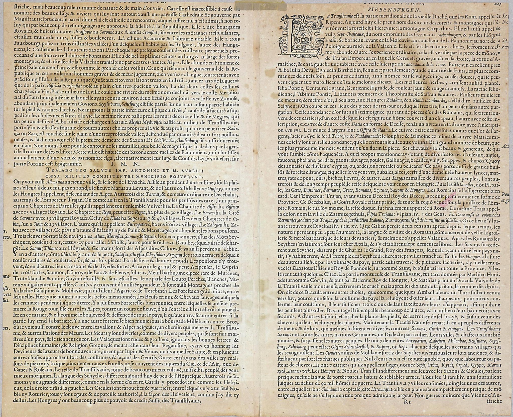
Erdély színezett rézmetszetű térképe, francia nyelvű leírással a hátoldalon.
Először megjelent: Mercator, Gerhard: Atlantis Pars Altera. Geographica Nova. Totius Mundi... Duisburg, 1595.
Méret/Size (margók nélkül/without margins): 34×43 cm
Oldalszám: RR 107-108.
Felül szövegveszteséggel szűkre vágva. Verzón ázásnyomokkal, a hajtásnál hátul megerősítve, alul kis szakadás, felül javítva.
Szántai: Mercator 2a; Koeman II Me 23B.
Hand-coloured copperplate engraving of Transylvania (Transilvania, Siebenbürgen, Ardeal, Siweberjen, ) by G. Mercator. Shows the historical and geographical area in the southeastern Carpathian region with its eventful history. Today Transylvania is located in the center of Romania.
Date of the first edition: 1595. Atlantis Pars Altera. Geographica Nova. Totius Mundi... Duisburg, 1595.
Page RR 107-108.
Narrowly cut with loss of French text on the verso; traces of water stains; reinforced at fold, small tear at bottom, top restored.
Date of the first edition: 1595. Atlantis Pars Altera. Geographica Nova. Totius Mundi... Duisburg, 1595.
Page RR 107-108.
Narrowly cut with loss of French text on the verso; traces of water stains; reinforced at fold, small tear at bottom, top restored.