![Hondius, Jodocus (id.) – Mercator, Gerard: Hungaria [Amstelodami, 1619.]](http://kozpontiantikvarium.hu/sites/default/files/2025-06/hondius_hungaria_rec.jpg "Hondius, Jodocus (id.) – Mercator, Gerard: Hungaria [Amstelodami, 1619.]")
Szerző
Hondius, Jodocus (id.) – Mercator, Gerard
Hungaria
[Amstelodami, 1619.]Ár
HUF 180 000
ID
103395
A1 fiók
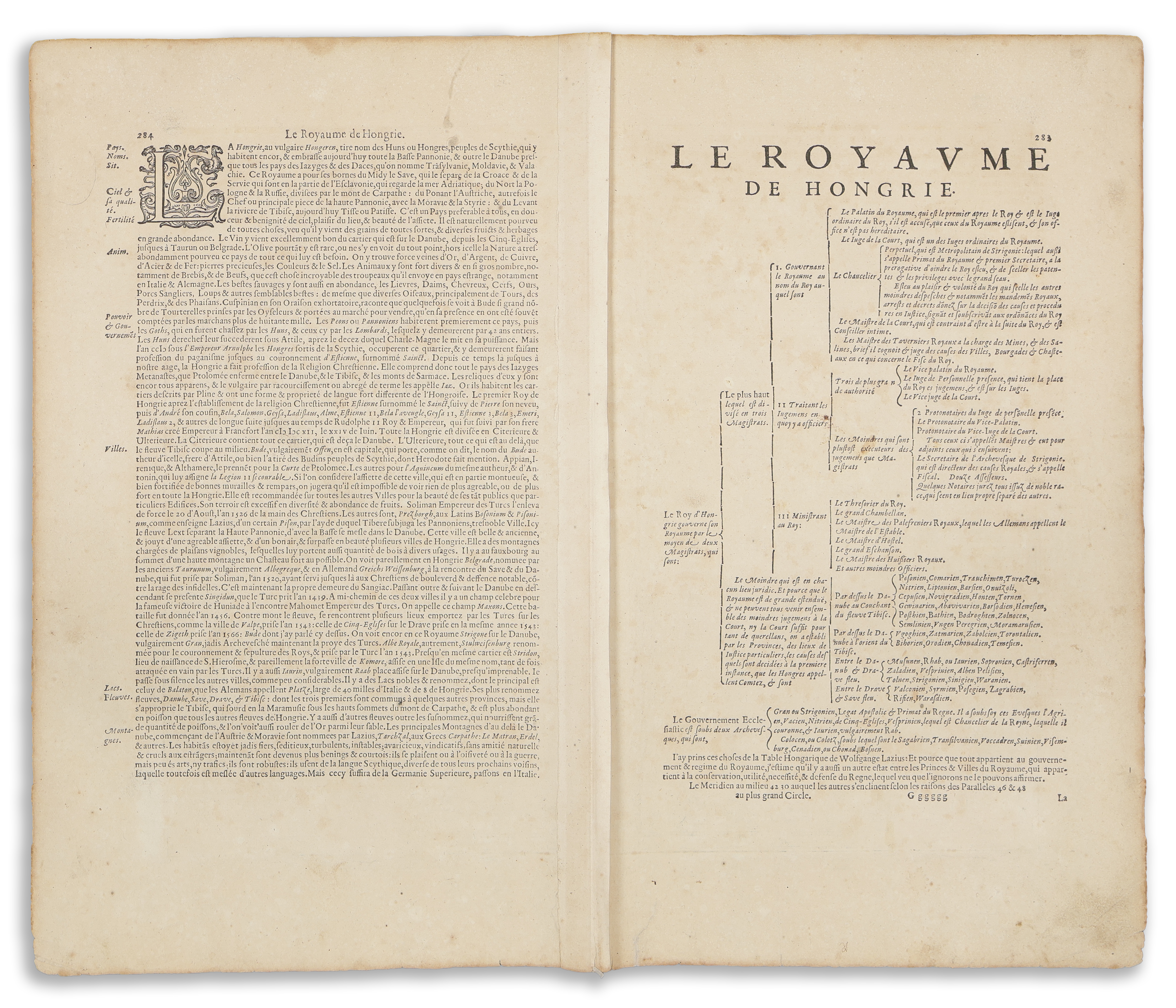
Mercator Magyarország térképe, Erdély nélkül, amelynek középpontjában Buda és Pest testvérvárosai állnak. A térképet a Duna szeli ketté, Bécsből Taubenbergig
Először megjelent: Germaniae Tabula Geographicae. Per Gerardum Mercatorem Illustriss. Duisburg, 1585.
Lapméret: 57,5×47,5 cm
Térkép mérete: 50×37,5 cm
Korához képest jó állapotban. A verson francia szöveg, 283-284-os oldalszámok, "Gggggg", a hajtás mentén megerősítve.
Szántai: Mercator 1a., Van der Krogt 1 2800:1A.1; Koeman ME 26A
Attractive example of Mercator's map of Hungary, wihtout Transylvania, centered on the sister cities of Buda and Pest. The map is dissected by the Danube, from Vienna to Taubenberg.
First published in: Germaniae Tabula Geographicae. Per Gerardum Mercatorem Illustriss. Duisburg, 1585.
Sheet size: 57,5×47,5 cm
Map size: 50×37,5 cm
In good condition for its age. French text on the verso, page numbers 283-284, "Gggggg", reinforced along the fold.
Szántai: Mercator 1a., Van der Krogt 1 2800:1A.1; Koeman ME 26A