
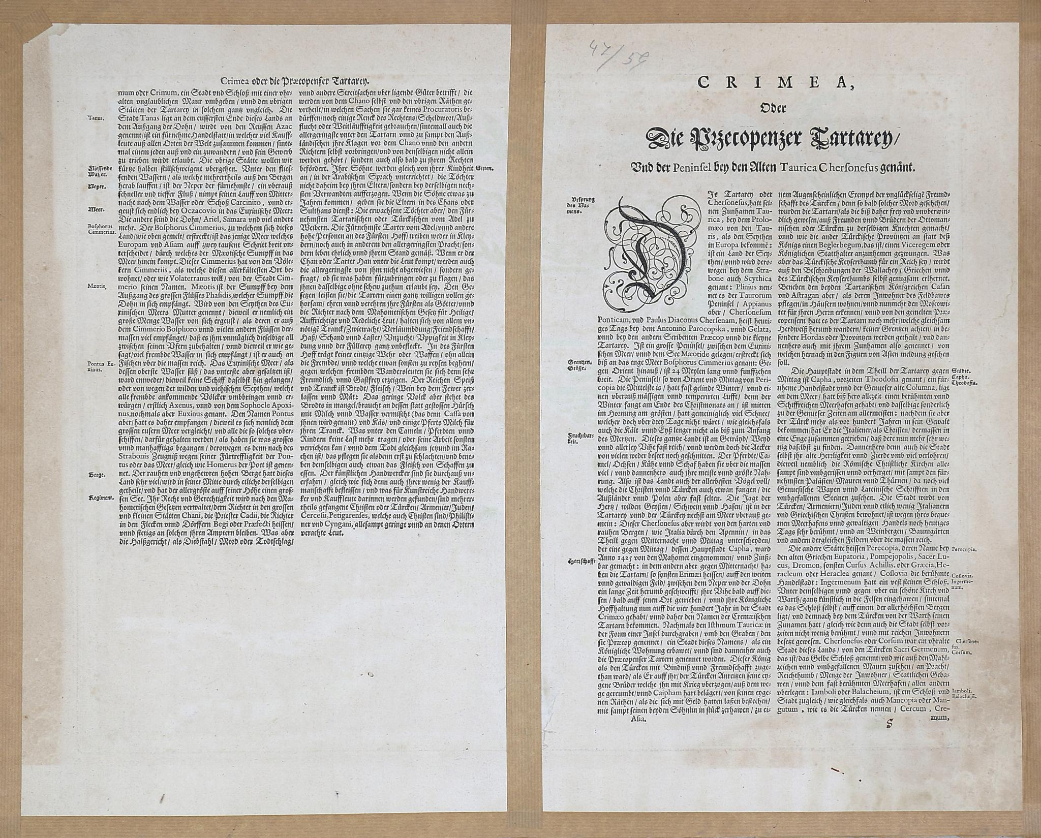
Taurica Chersonesus, Nostra aetate Przecopsca, et Gazara dicitur
1662 AmsterdamElőször megjelent/ First published in: Blaeu, Joan; Atlas Novus (1658, Amsterdam)
Méret/Size (margók nélkül/without margins): 38×49,5 cm
Ukrajna és a Krím-félsziget térképe. Gerard Mercator 1595-ös Ukrajna-térképe alapján, amely Atlas Sive Cosmographia című atlaszában jelent meg. Moszkva a térkép tetején található. Sok részlet az erdőkről, folyókról, településekről stb. Részletes latin nyelvű magyarázatok a hátoldalon.
A neves holland térképész és kiadó, Joan Blaeu a világ több száz helyszínét ábrázolta. A Holland Kelet-indiai Társaság képviselőjeként Blaeu hozzáférhetett a közelmúltbeli felfedezésekről készült térképek és beszámolók kiterjedt gyűjteményéhez, amelyet saját alkotásaihoz használt fel. Blaeu mesterműve, az először 1662-ben kiadott Atlas Major 594 térképből és több mint 4000 oldalból állt. Az atlasz Európa, Ázsia és Amerika területeit fedte le, és több nyelven készült: Holland (9 kötet), spanyol (10 kötet), latin (11 kötet) és francia (12 kötet) nyelven. Az Atlas Major rövid idő alatt a korabeli atlaszok meghatározó szabványává vált.
Nagyon jó állapotban, a hátoldalon a szélek körül megerősítve. Jobb felső sarkán szakadás, restaurálva.
Renowned Dutch cartographer and publisher Joan Blaeu depicted hundreds of locations around the world. Operating from his studio near Amsterdam, Blaeu published a wide range of works, including religious and philosophical texts, as well as maps and atlases of various sizes. As a representative of the Dutch East India Company, Blaeu had access to an extensive collection of maps and accounts from recent explorations, which he used to inform his own creations.
Blaeu's masterpiece, 'Atlas Major', first published in 1662, consisted of 594 maps and over 4,000 pages. Covering regions across Europe, Asia, and the Americas, the atlas was produced in multiple languages: Dutch (9 volumes), Spanish (10 volumes), Latin (11 volumes), and French (12 volumes). After printing, Blaeu often entrusted the atlas to skilled local craftsmen for final embellishments. Artist Dirk Janszoon van Santen frequently added watercolor and gilding to the black-and-white prints, while bookbinder Albertus Magnus bound many of the volumes. Atlas Major, from which many prints in this collection originate, quickly became the definitive standard for atlases of its time.
Very good condition, reinforced around the edges on the verso. Top right corner torn, restored.