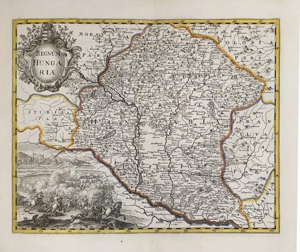
Parvus Atlas in duas Partes divisus, quarum prior representat Regnum Hungariae cum adjacentibus Provinciis et parte Danubii usque ad Ostia ejus, consistens in XIII Mappis Geographicis. Secunda Pars refert Regna et Provincias Haereditarias Caesareas confistens in IX Tabulis.
Augusta Vindelicorum Johann Andreas Pfeffel150. árverés / 138.
Kikiáltási ár: 1 500 000 Ft Leütési ár: 1 500 000 FtA két részből álló atlasz első felében 13 db Magyarország területeit bemutató munka kapott helyet, míg a másodikban 9 db a Habsburg Birodalom tartományait ábrázoló lap található. Az első - akkor 11 rézmetszetből álló - részt 1737-ben Bécsben Johann van der Bruggen közreadta, hogy az így befolyó összegből finanszírozza a 13 laposra tervezett atlasz további munkálatait. A végső kiadás (bővítve egy Podoliát és Besszarábiát, valamint egy Magyarország valamennyi régióját bemutató átnézeti térképpel) a következő évben készült el, majd 1739-ben a második résszel kiegészítve van der Bruggen "Parvus Atlas" címmel bocsátotta közre. Példányunk az Augsburgban működő Johann Andreas Pfeffel gondozásában megjelent második kiadás.


