![Hondius, Jodocus: Cyprus Insulae [Amstelodami, 1619.]](http://kozpontiantikvarium.hu/sites/default/files/2025-06/cyprus_rec.jpg "Hondius, Jodocus: Cyprus Insulae [Amstelodami, 1619.]")
Szerző
Hondius, Jodocus
Cyprus Insulae
[Amstelodami, 1619.]Ár
380 000 Ft
Azonosító
103388
Üzlet
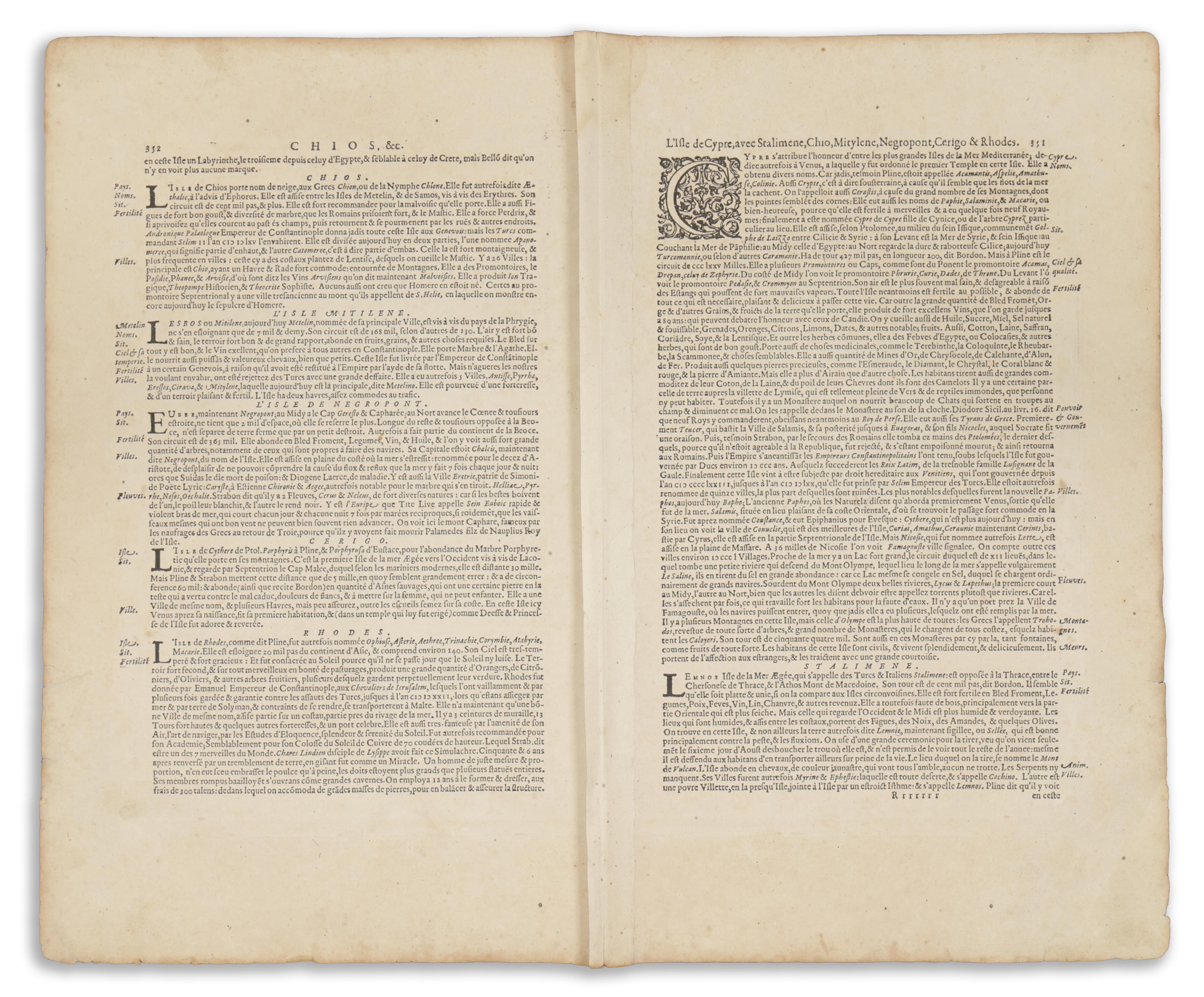
A korai Ciprus-térképek egyik legkeresettebb darabja.
Melléktérképeken Sztaliméné, Híosz, Leszbosz (Mitilíni), Évia (Negroponte), Kíthira (Cerigo) és Rodosz szigetei láthatók. NAgy méretű, dekoratív kartus mellett vitorlás hajó és egy tengeri szörny is díszíti a térképet, mely Ortelius Ciprus-térképén alapul.
Először megjelent: Gerardi Mercatoris - Atlas sive Cosmographicae Meditationes de Fabrica Mundi et Fabricati Figura. J. Hondius. 1606. (Van der Krogt 1, 101)
Lapméret: 57,5×47,5 cm
Térkép mérete: 50×37,5 cm
Korához képest jó állapotban, térkép mezőt nem érintő apróbb szakadásokkal. A verson francia szöveg, 351-352-os oldalszámok, "Rrrrrrr", a hajtás mentén megerősítve. Kiváló példány, széles margókkal.
One of the most sought after of all early maps of Cyprus. An excellent example with wide margins.
Beautiful old example of Hondius' copper-engraved map from a French edition of the Mercator-Hondius Atlas. Includes insets of the islands Stalimini, Chius, Lesbos (Mitilene), Euboea (Negroponte), Cerigo and Rhodes. Decorative cartouche, sailing ship and sea monster. The map is borrowed from Ortelius' map of Cyprus.
First published in: Gerardi Mercatoris - Atlas sive Cosmographicae Meditationes de Fabrica Mundi et Fabricati Figura. J. Hondius. 1606. (Van der Krogt 1, 101)
Sheet size: 57,5×47,5 cm
Map size: 50×37,5 cm
In good condition for its age, with minor tears not affecting the map field. French text on verso, page numbers 351-352, "Rrrrrrr", reinforced along fold.