
Szerző
Manesson, Alain
Hongrie
Paris, 1683Ár
25 000 Ft
Azonosító
103595
Kis mappa 2.
Magyarország és Erdély minatűr rézmetszetű térképe.
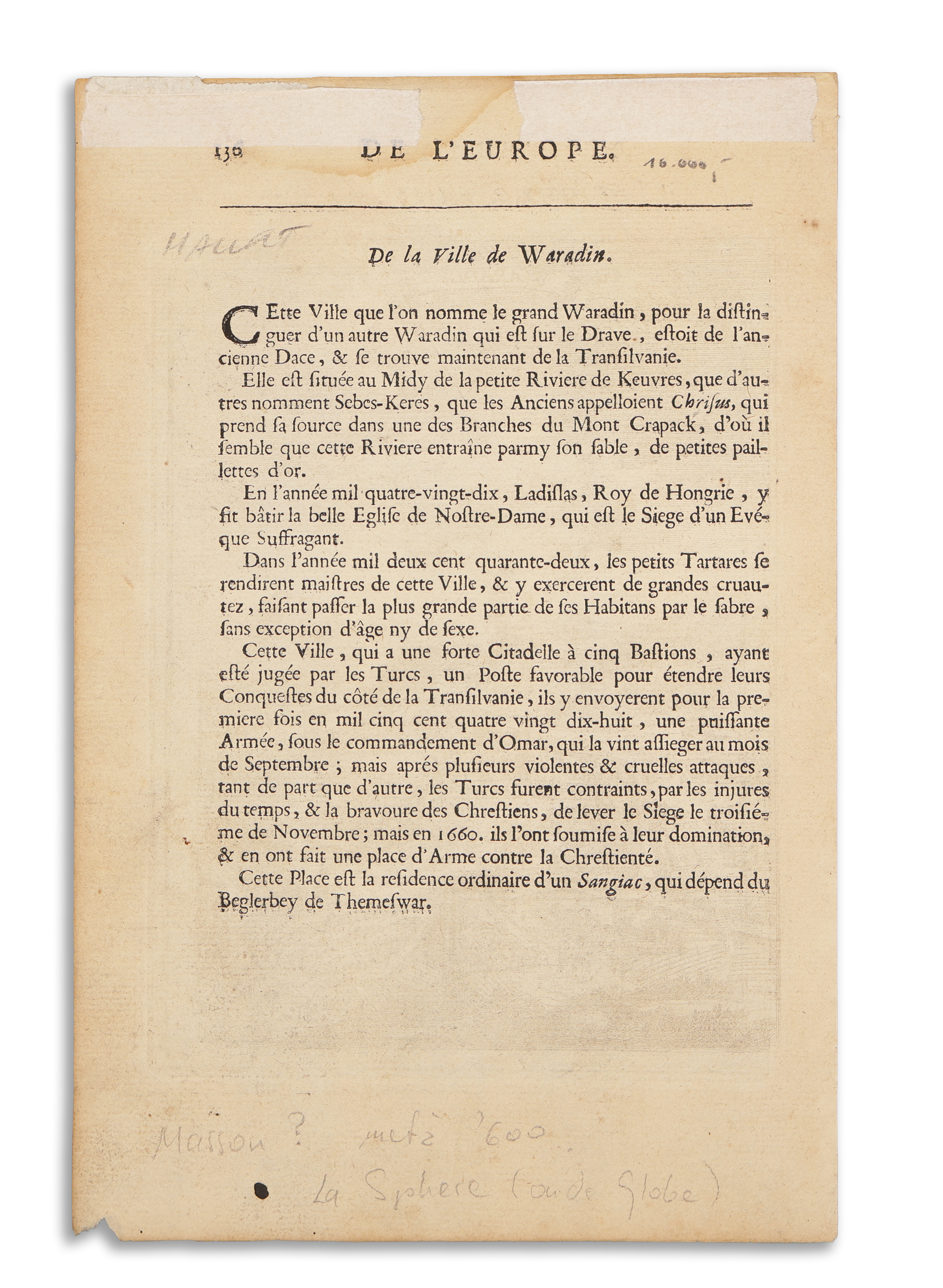
Megjelent: Manesson-Mallet: Description de l'Univers Contenant les Differents Systemes, Vol. 4., Paris, 1683.
Térkép mérete: 11x15 cm
Lapméret: 21×14 cm
Francia szöveg a verson. Jó állapotban: vízfolt a felső margón, a térképet nem érinti.
Szántai Manesson 1; Philips: 3447; Pasteureau: Manesson 1a.
A miniature and decorative copper engraved map showing Hungary and Transylvania. In the centre of the map the river Danube, various place names are engraved.
In: Manesson-Mallet: Description de l'Univers Contenant les Differents Systemes, Vol. 4., Paris, 1683.
Size of map: 11x15 cm
Sheetsize: 21×14 cm
French text on verso. Good condtioin: water stain to upper margin, not affecting the map.
Szántai Manesson 1; Philips: 3447; Pasteureau: Manesson 1a
In: Manesson-Mallet: Description de l'Univers Contenant les Differents Systemes, Vol. 4., Paris, 1683.
Size of map: 11x15 cm
Sheetsize: 21×14 cm
French text on verso. Good condtioin: water stain to upper margin, not affecting the map.
Szántai Manesson 1; Philips: 3447; Pasteureau: Manesson 1a