
Szerző
Mercator, Gerard
Candia cum Insulis aliquot circa Graeciam [Insets of Corfu, Zante, Milo, Nicsia, Santorini and Scarpanto
1619 AmsterdamÁr
180 000 Ft
Azonosító
104014
üzletben tárló
Mercator Kréta-térképének szép példánya.
Megjelent: Gerardi Mercatoris - Atlas sive Cosmographicae Meditationes de Fabrica Mundi et Fabricati Figura. Amsterdam, J. Hondius, 1619. (Van der Krogt 1, 113)
A fő térkép Kréta (Candia) szigetére összpontosít. A kisebb melléktérképen a közeli szigetek: Korfu, Zákinthosz (Zante), Mélosz (Milo), Nicosia (Nicsia), Szantorini és Karpathosz (Scarpanto).
Lapméret: 47,5×55,5 cm
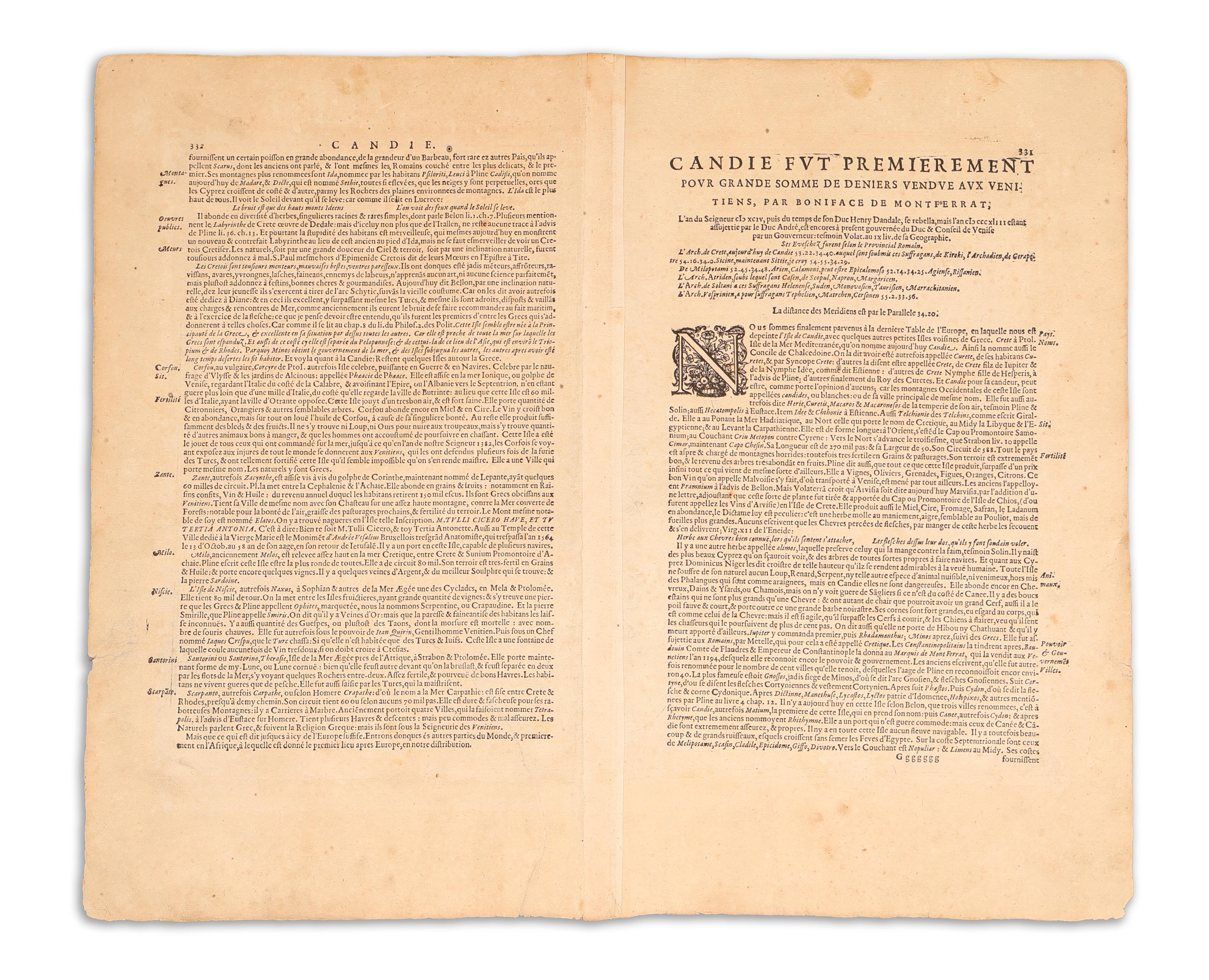
A hátoldalon francia nyelvű szöveg, oldalszáma: 331, jelzete: Ggggggg. Restaurált példány, széles margókkal. A hajtás mentén a verson megerősítve.
Nice example of the true first edition of Mercator's map of Crete and neighboring Greek Islands.
The main map focuses on the island of Crete, historically known as Candia, with several insets depicting nearby islands such as Corfu, Zante, Milo, Nicsia, Santorini, and Scarpanto.
From: Gerardi Mercatoris - Atlas sive Cosmographicae Meditationes de Fabrica Mundi et Fabricati Figura. Amsterdam, J. Hondius, 1619. (Van der Krogt 1, 113)
Sheet size: 47,5×55,5 cm
French text on verso, page number 331, signum Ggggggg. Restored, edges slightly worn. Reinforced along the fold on the verso.