
Persici vel Sophorum Regni Typus.
1619 AmsterdamRitka, korai térkép a Perzsa Birodalmról, mely északon Kaszpi-tengertől egészen a déli Hormuzi-szorosig és a Vörös-tengerig terjed.
A mai Irak, Irán és Afganisztán területeit ábrázolja. Az iráni részen olyan nevezetes helynevek azonosíthatók, mint Tabriz (korábban Tauris), Teherán (Taron), Iszfahán (Ispaham), Qom (Coma) és Shiráz (Schiras). Irakban a főbb városok – Bagadet (Bagdad), Balsara (Baszra) és Moszul – is feltűnnek, emellett jól láthatók Babilon ókori romjai is. Afganisztán területén kiemelendő Chabul és Candahar városai.
Két díszes kartussal.
Megjelent: Gerardi Mercatoris - Atlas sive Cosmographicae Meditationes de Fabrica Mundi et Fabricati Figura. Amsterdam, J. Hondius, 1619. (Van der Krogt 1, 113)
Lapméret: 47,5×55,5 cm
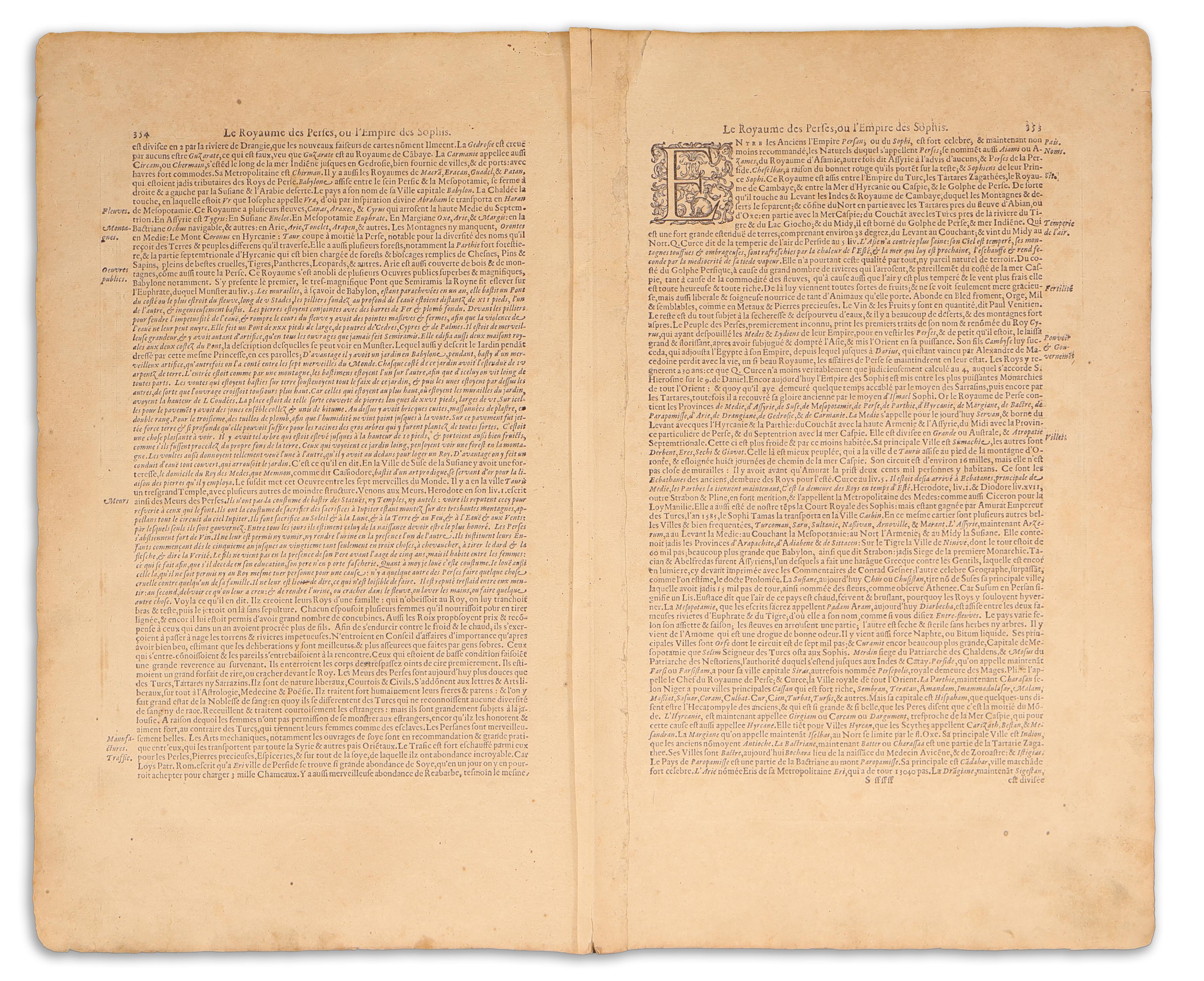
A hátoldalon francia nyelvű szöveg, oldalszáma: 353, signum: Sssssss. Jó állapotban. A hajtás mentén a verson megerősítve.
Depicting the regions of contemporary Iraq, Iran, and Afghanistan. Notable place-names such as Tabriz (formerly Tauris), Tehran (Taron), Isfahan (Ispaham), Qum (Coma), and Shiraz (Schiras) can be identified within the Iranian territory. In Iraq, key cities like Bagadet (Baghdad), Balsara (Basra), and Mosul are featured on the map, while the ancient ruins of Babylon are also clearly marked. In Afghanistan, the cities of Chabul and Candahar are prominently displayed.
With two beautiful cartouche.
From: Gerardi Mercatoris - Atlas sive Cosmographicae Meditationes de Fabrica Mundi et Fabricati Figura. Amsterdam, J. Hondius, 1619. (Van der Krogt 1, 113)
Sheet size: 47,5×55,5 cm
French text on verso, page number 353, signum Sssssss. Good condition. Reinforced along the fold on the verso.