
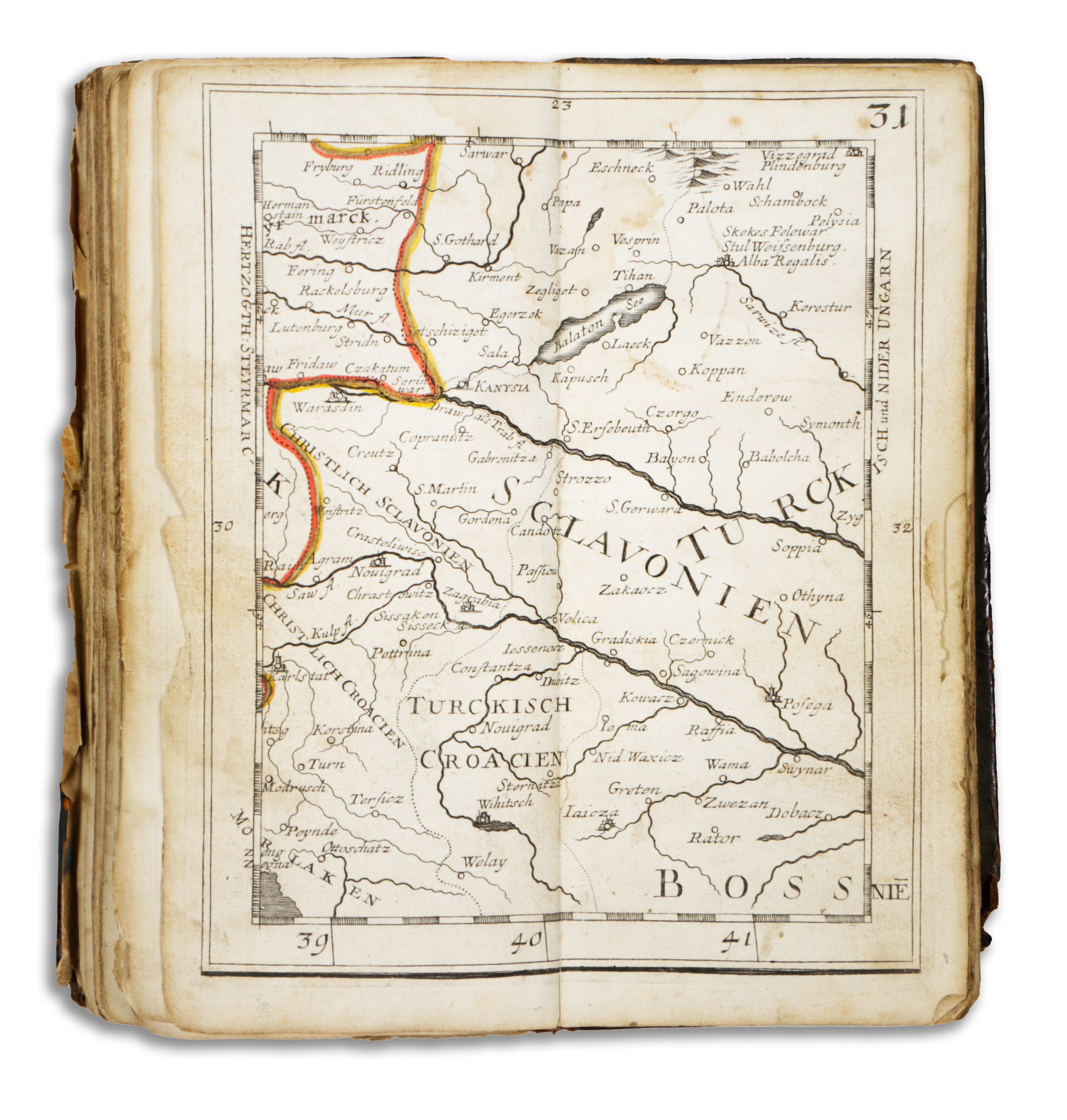
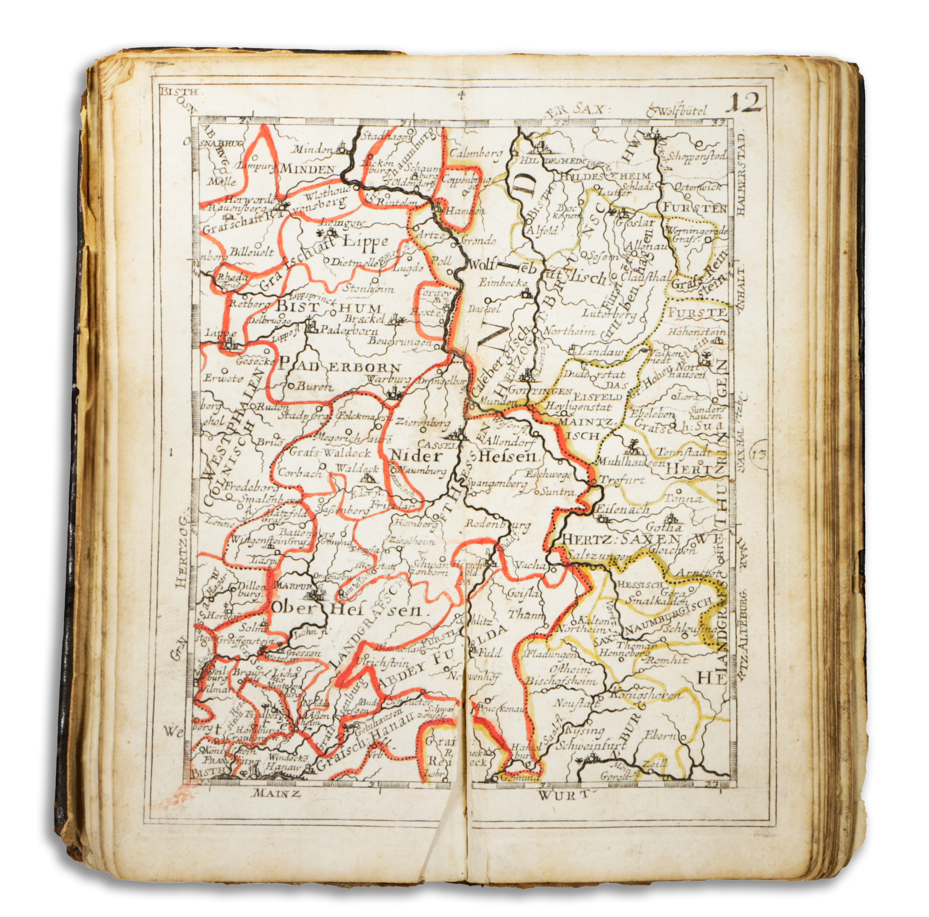
Németország államférfiak, hadvezérek, tudósok, kereskedők és utazók különös kényelmes használatára kiadott "zsebatlasza", továbbá benne Németország szomszédos királyságaival és tartományaival, a Benelux államokkal, Anglia, Franciaország, Észak-Olaszország, Lengyelország és Magyarország egyes részeivel. A 30 térképlap együttesen Közép-Európa térképét adja ki.
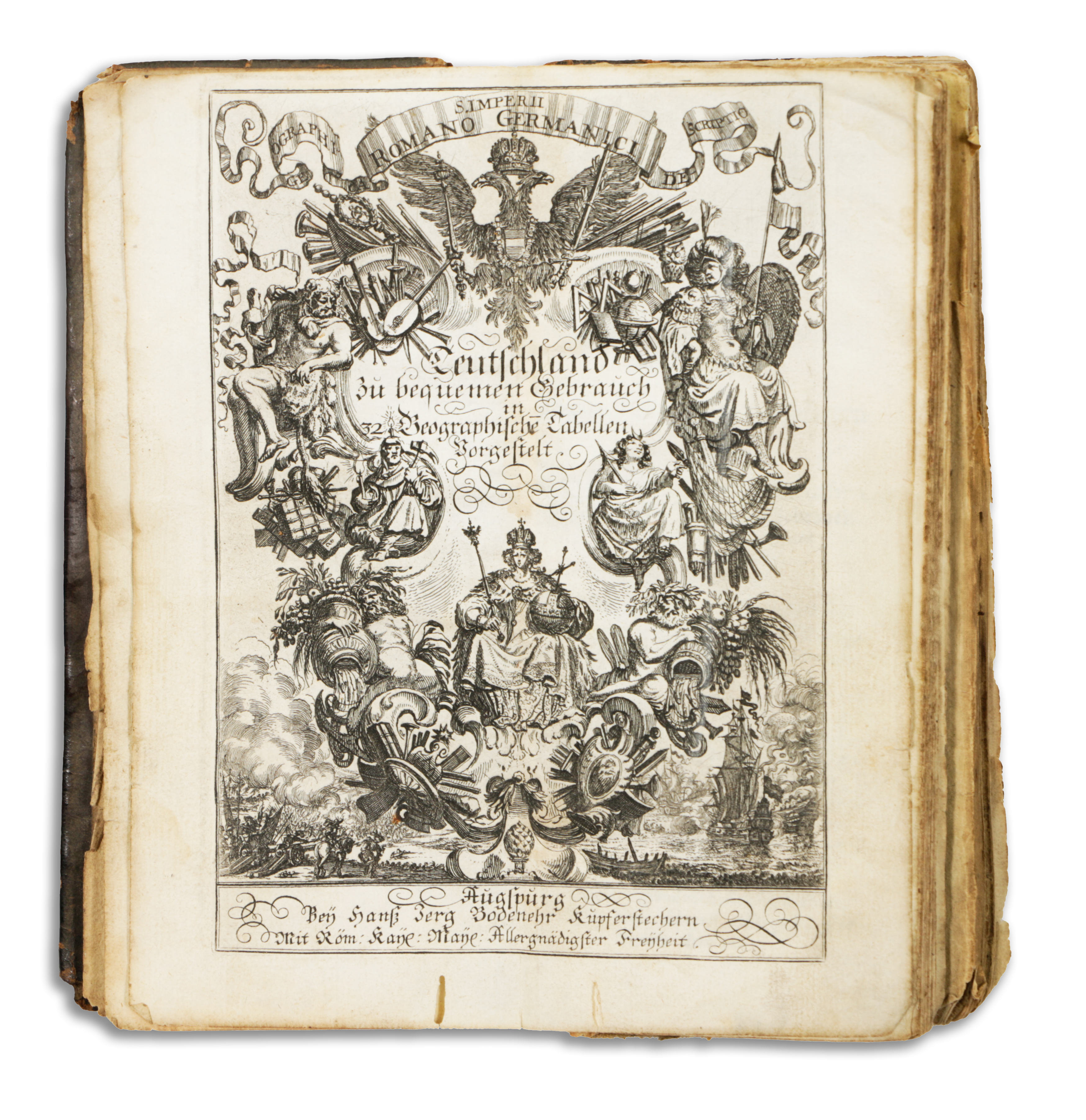
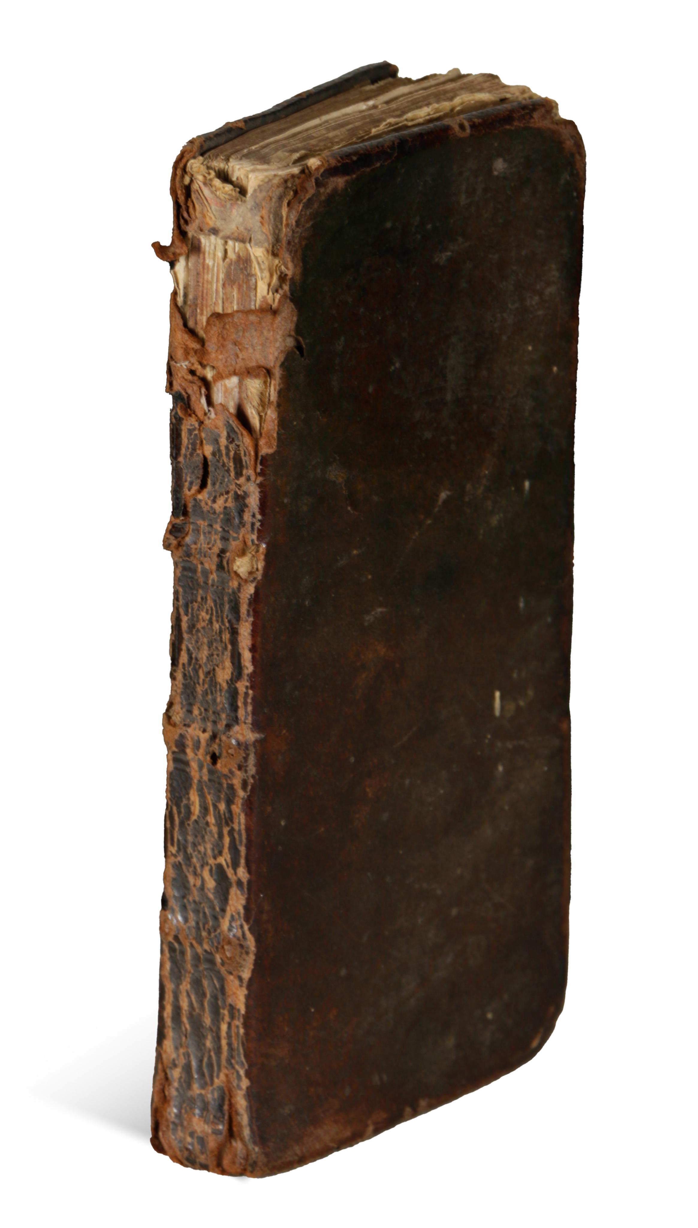
Második kiadás. Kétoldalas metszett címlappal, mérföldmutatóval, a német-római birodalom térképével, szelvénytáblázattal és 30 határszínezett, számozott duplaoldalas metszett térképpel. Térképek mérete:16×7,5 cm. Korabeli erősen kopottas, gerincén hiányos bőrkötésben. A birodalmi és a szelvény térkép erősen sérült, hiányos. 3 térkép szakadt, amatőr javítással. Levelei foltosak.
1 rézm.t. díszcímlap+17 lev.+33 rézm.térkép+30 lev.
Philipps 3033.
Second edition. With engraved double-page title-page, double-page mileage index, map of the German-Roman Empire, sectional map and 30 numbered double-page engraved maps with borders. Map size:16×7,5 cm.
In heavily worn contemporary leather binding, spine damaged. The imperial and section maps are heavily damaged and incomplete. 3 maps torn, with amateur repairs. Leaves are stained.
1p. copp. engr. frontispiece 17 leaves+33 copp. engr. maps+30 leaves
Philipps 3033.