
Illustrirter Hand-Atlas der Geographie und Statistik
Stuttgart, 1862. Krais & Hoffmann.Címlap + [2] (tartalomjegyzék)+ [434]p. + 48 + 6 + 7 t. (duplaoldalas térkép /tónusos lith./, címerrajz /arannyal és ezüsttel is nyomtatott lith./, zászlók /színes lith., összesen 280 számozott zászlóval/
Mit 112 Bogen erläuterndem Texte, 218 Holzschnitten, 6 Blätter in Farbendruck: Wappen und Orden der fünf europäischen Grossmächte und der vier deutschen Königreiche, und einem colorirten Flaggen-Atlas in 7 Blättern, die Flaggen aller Nationen der Erde darstellend. Herausgegeben von Traugott BROMME.
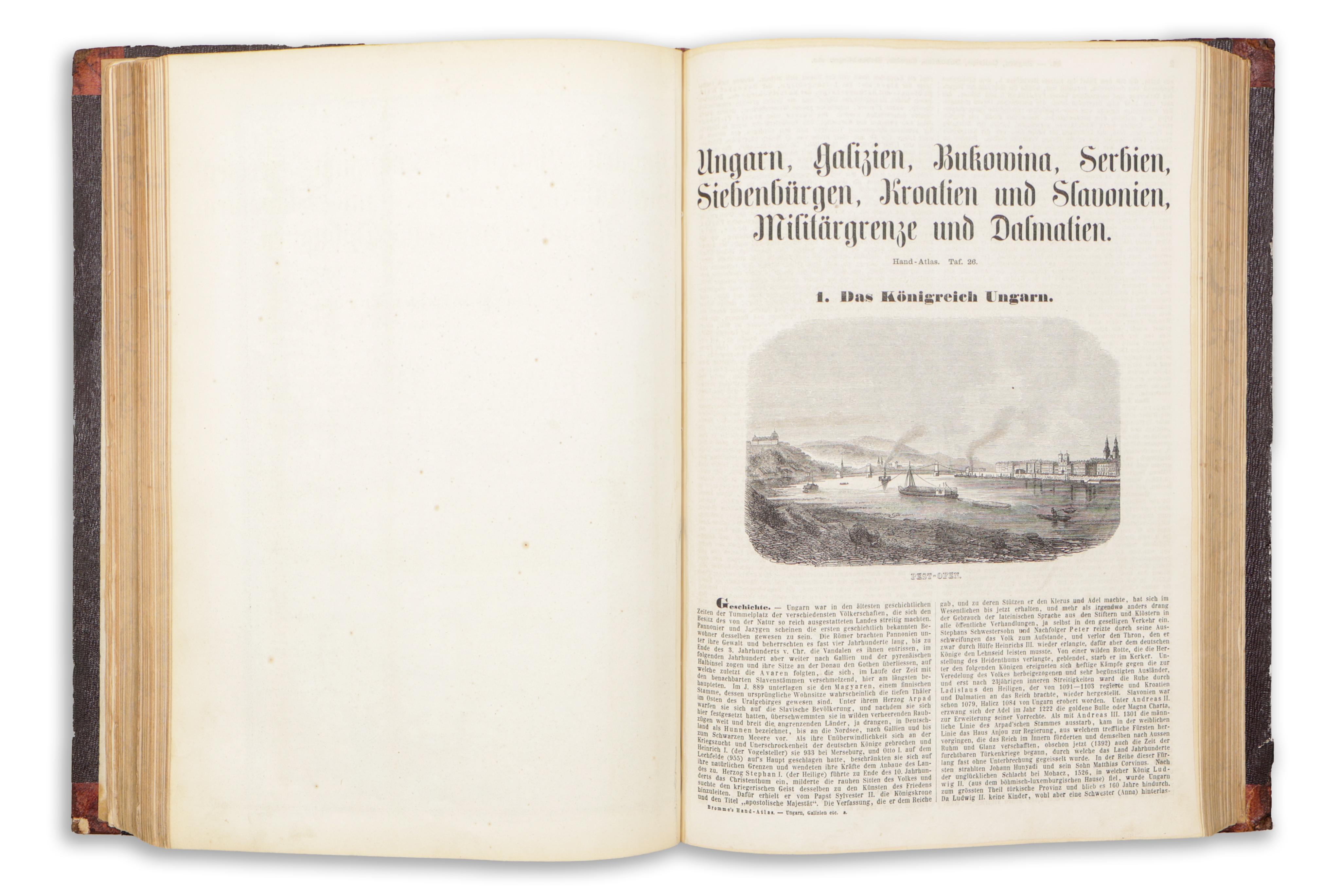
Ritka első kiadás! Nem csupán egy kézi atlasz, hanem egy illusztrált, átfogó földrajzi kézikönyv országleírásokkal, ezen belül a fontosabb látni-tudni valók ábrázolásával, valamint címerekkel és az országok zászlaival. Az egyes országok leírását számos fametszetű rajzzal illusztrálták.
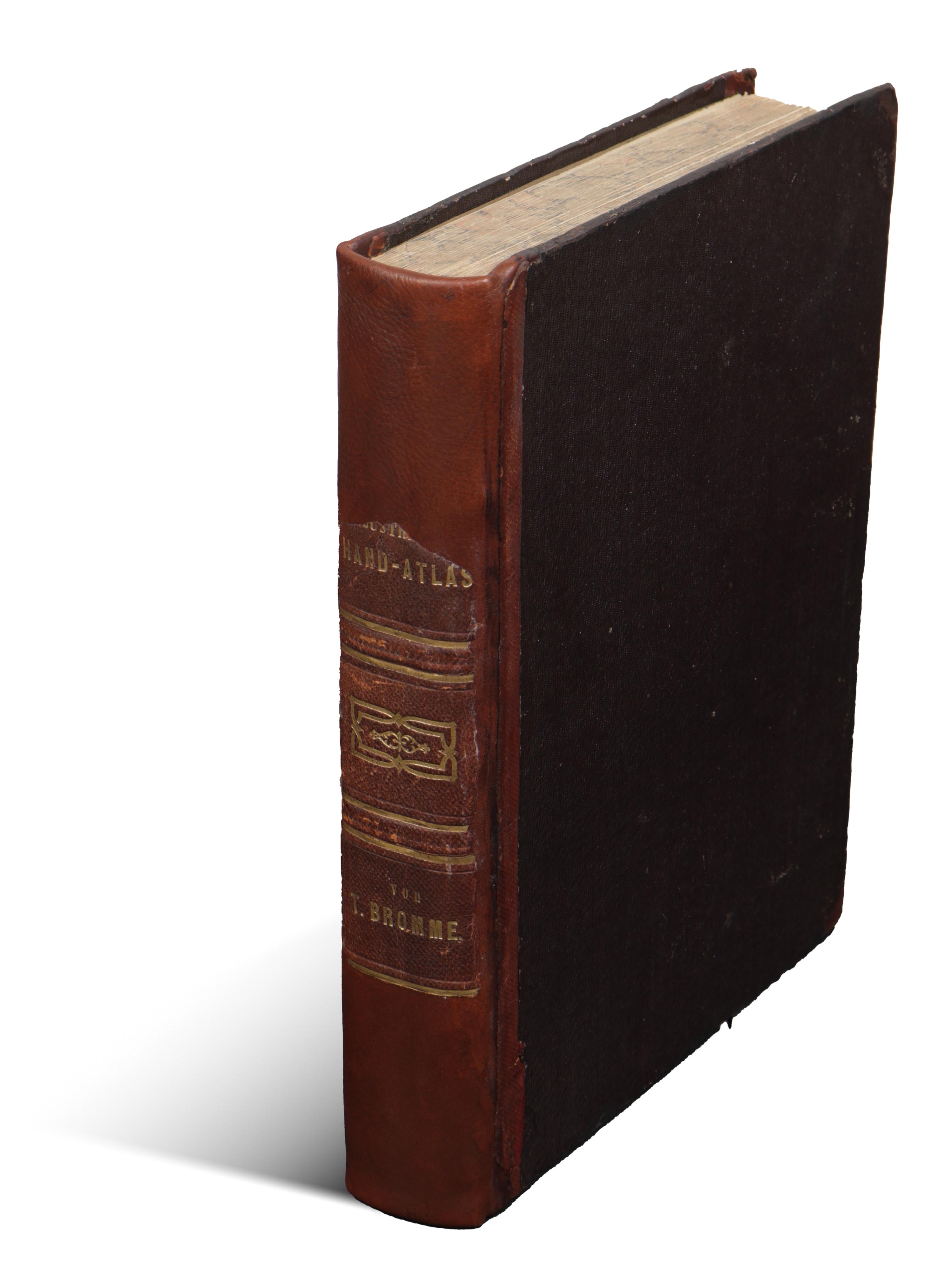
Korabeli, az eredeti gerinc felhasználásával restaurált félbőr-kötésben.
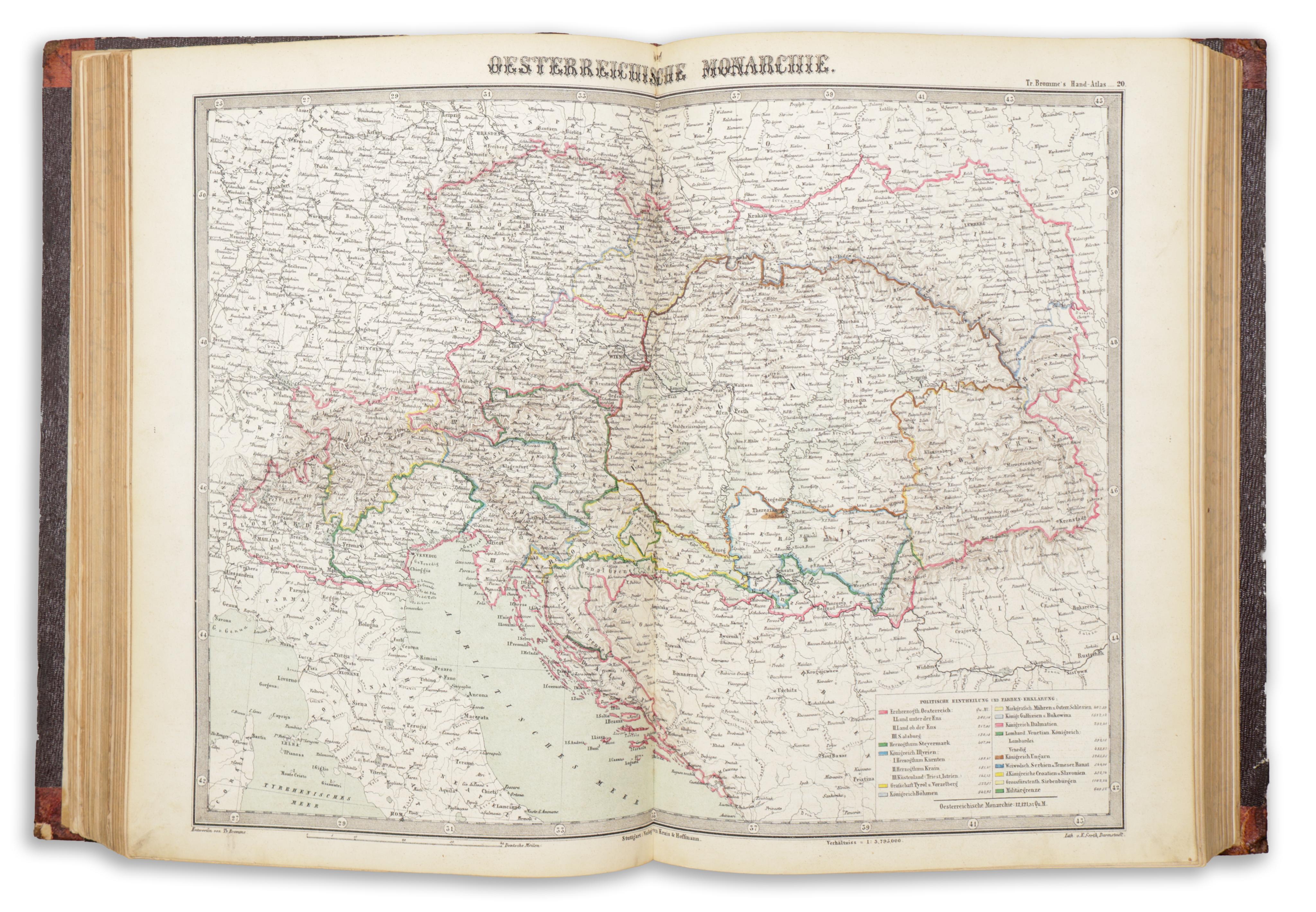
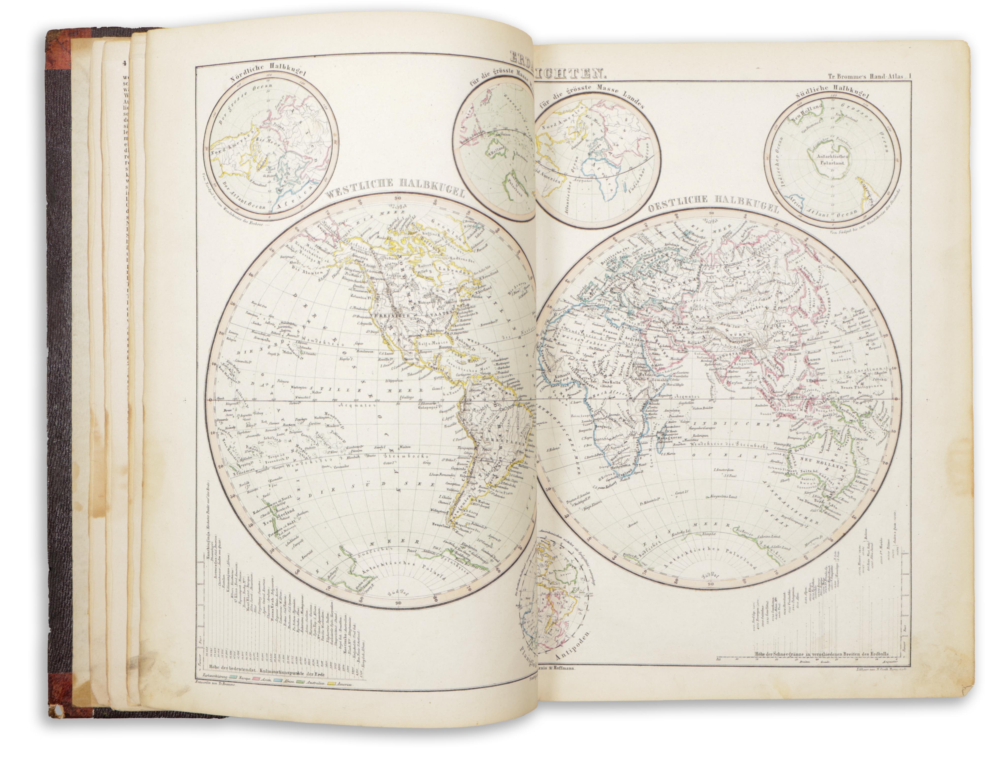
Frontispiece + [2] (table of contents) + [434] . (with pagination restarting for each country) + 48 + 6 + 7 plates (double-page maps /tonal lithography/, coats of arms /lithographs printed with gold and silver/, flags /colored lithographs, with a total of 280 numbered flags/).
Mit 112 Bogen erläuterndem Texte, 218 Holzschnitten, 6 Blätter in Farbendruck: Wappen und Orden der fünf europäischen Grossmächte und der vier deutschen Königreiche, und einem colorirten Flaggen-Atlas in 7 Blättern, die Flaggen aller Nationen der Erde darstellend. Herausgegeben von Traugott BROMME.
Rare first edition!
Not just an atlas, but an illustrated, comprehensive geographical handbook with country descriptions, including depictions of key sights and noteworthy information, along with coats of arms and national flags. The descriptions of the individual countries are richly illustrated with numerous woodcut images. The pages vary in foxing (some barely, others more), but are mostly clean overall.
In contemporary half-leather binding, restored using the original spine.