
Szerző
Hondius, Henricus – Mercator, Gerard
Karstia, Carniola, et Windorum, Marchia cum confinys
1636 AmsterdamÁr
280 000 Ft
Azonosító
102818
A5 fiók
Méret/Size (margók nélkül/without margins): 34,6×47,2 cm
Mercator térképének szép példánya, amely az Isztria és a Trieszt-öböl körüli régióra összpontosít.
A térkép Velencétől az Arbe-szigetig és Doblachtól Pettauig terjed a Dravus folyó mentén.
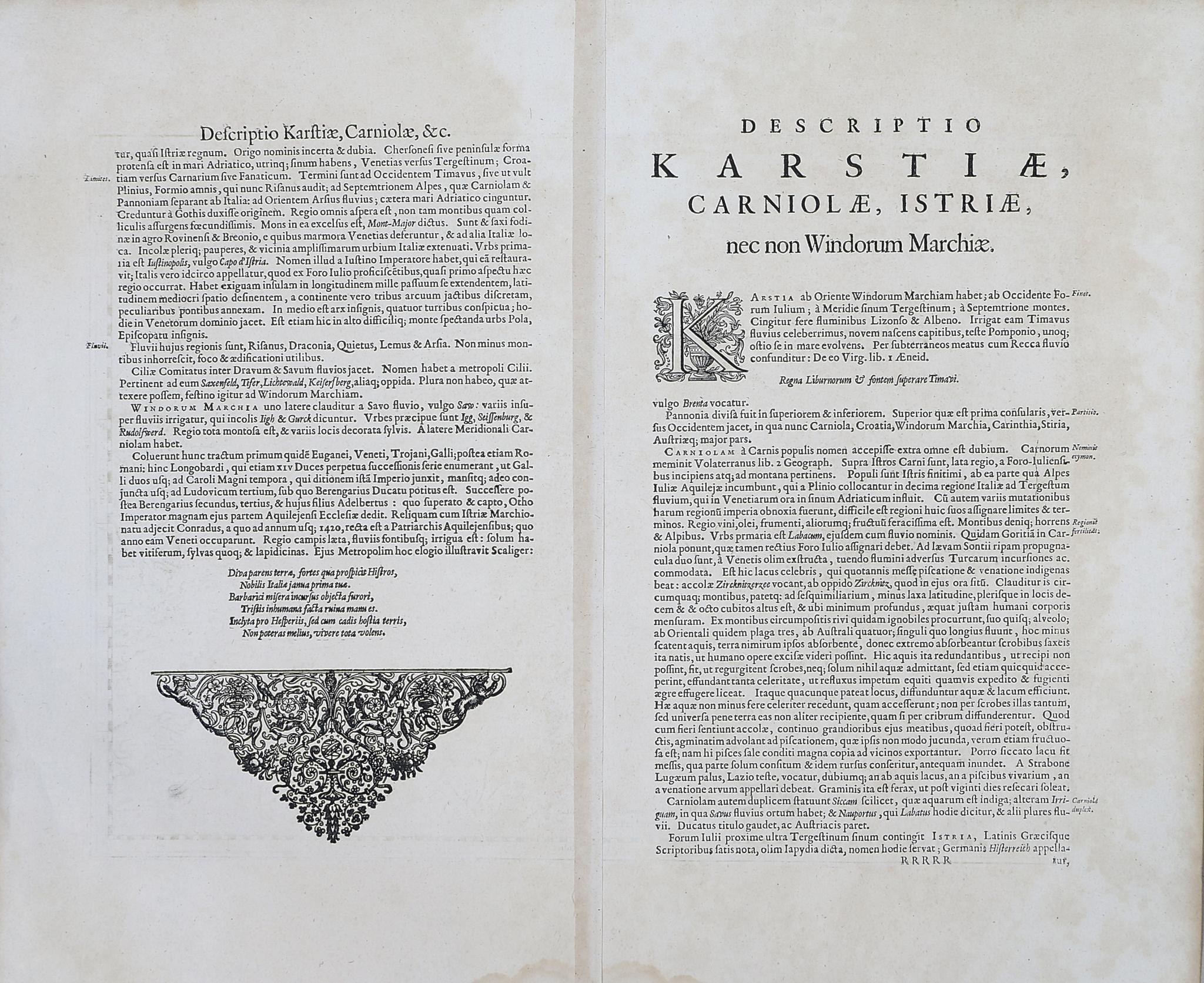
Részletes latin nyelvű magyarázatok a hátoldalon.
Jó állapotban, ázásnyommal alsó margó szélén (a térképet nem érinti), a hátlapon a hajtás megntén megerősítve.
A fine example of Mercator's map focusing on the region centered around Istria and the Gulf of Trieste. The map stretches from Venice to the Island of Arbe and from Doblach to Pettau along the Dravus River.
Detailed explanation in Latin on the verso.
Good condition, waterstain at the edge of the lower margin (map not affected.) Fold reinforced on the verso.
Detailed explanation in Latin on the verso.
Good condition, waterstain at the edge of the lower margin (map not affected.) Fold reinforced on the verso.