

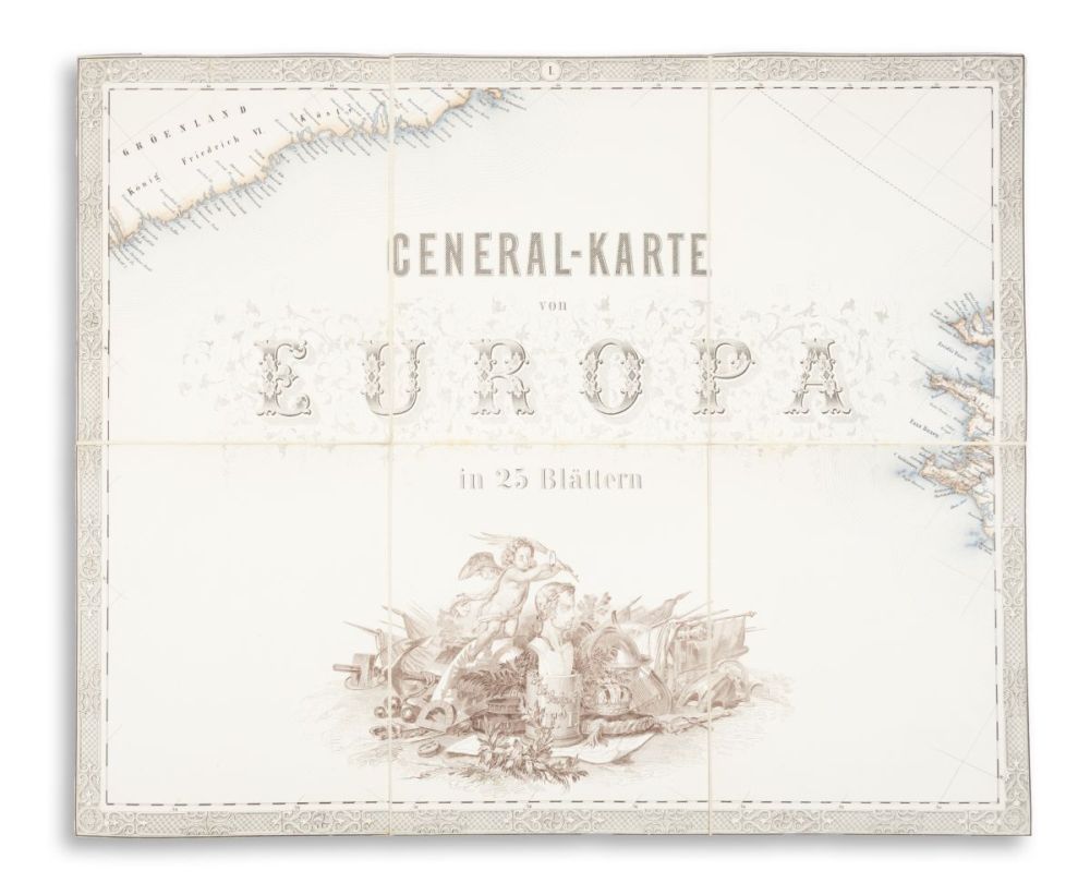
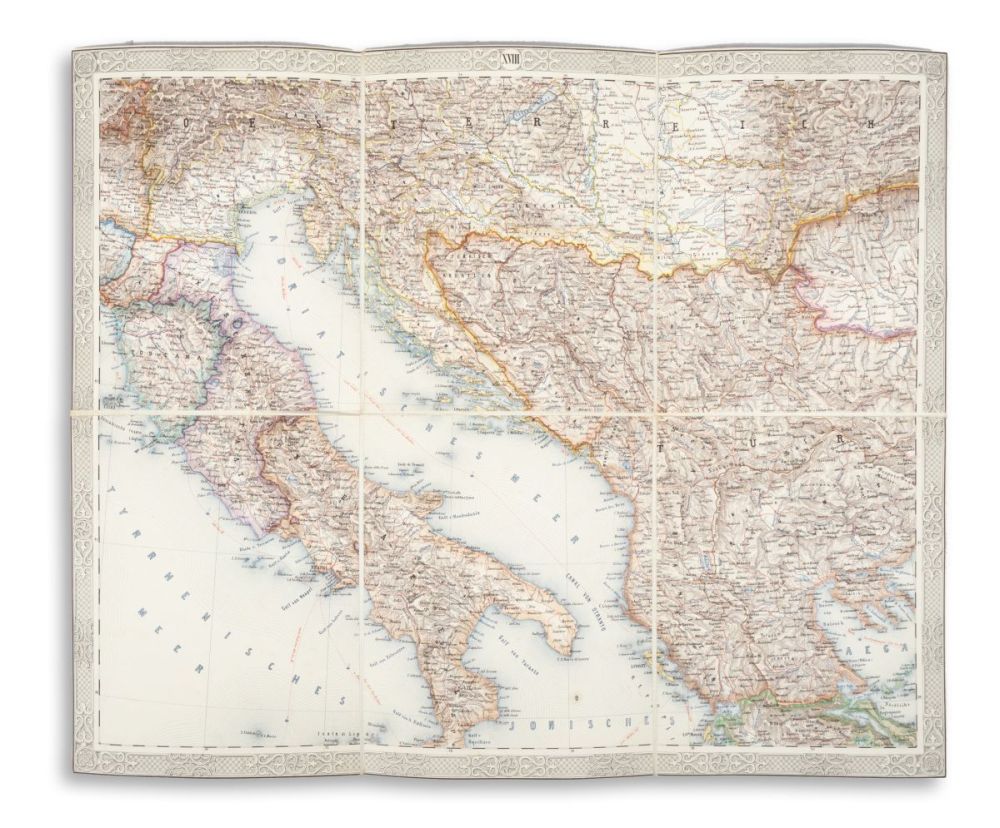
General-Karte von Europa in 25 Blattern. Vermehrte und verbesserte Auflage.
Wien, 1859. K. k. Mil. Geogr. Inst.Európa általános térképe 25 színes, vászonlapra kasírozott, hártyapapírral védett, gyönyörűen színezett kőnyomatos térképszelvényen. Egy szelvény összehajtott állapotban: 20×16,5 cm, nyitott állapotban: 40,5×49,5 cm. Teljes térkép: 200×247,5 cm. Mérték: 1:2.592.000.
A térkép 1845–1847-es első kiadása az első többszínű vonalnyomással készült litográfiai térkép volt. Jelen példány a második kiadás, amely egész Európát lefedi, beleértve az Urált és a Kaszpi-tengert, valamint Észak-Afrikát is. Jelmagyarázattal, az országok mérték táblázatával, tételünk az áttekintő térképet nem tartalmazza. Nagyméretű, figurális címkartussal, készítette: Peter Johann Nepomuk Geiger.
Josef Scheda (1815–1888) osztrák vezérőrnagy, geográfus, térképész, az osztrák kartográfia kiemelkedő alakja a rézmetszés és a litográfia területén. A bécsi Katonai Földrajzi Intézet Lithográfiai Osztályának vezetője volt. Nagymértékben hozzájárult az intézet nemzetközi hírnevéhez, többek között azzal, hogy nagy hangsúlyt fektetett a litográfusok és metszők képzésére, valamint jelentősen javította a térképek tartalmát és technikai minőségét. "Scheda összes térképészeti munkáját mind páratlan szépsége, mind a források felhasználásában tanúsított nagy lelkiismeretesség jellemzi...". (Kretschmer-D.-W. II, 703. - ADB LIII, 737)
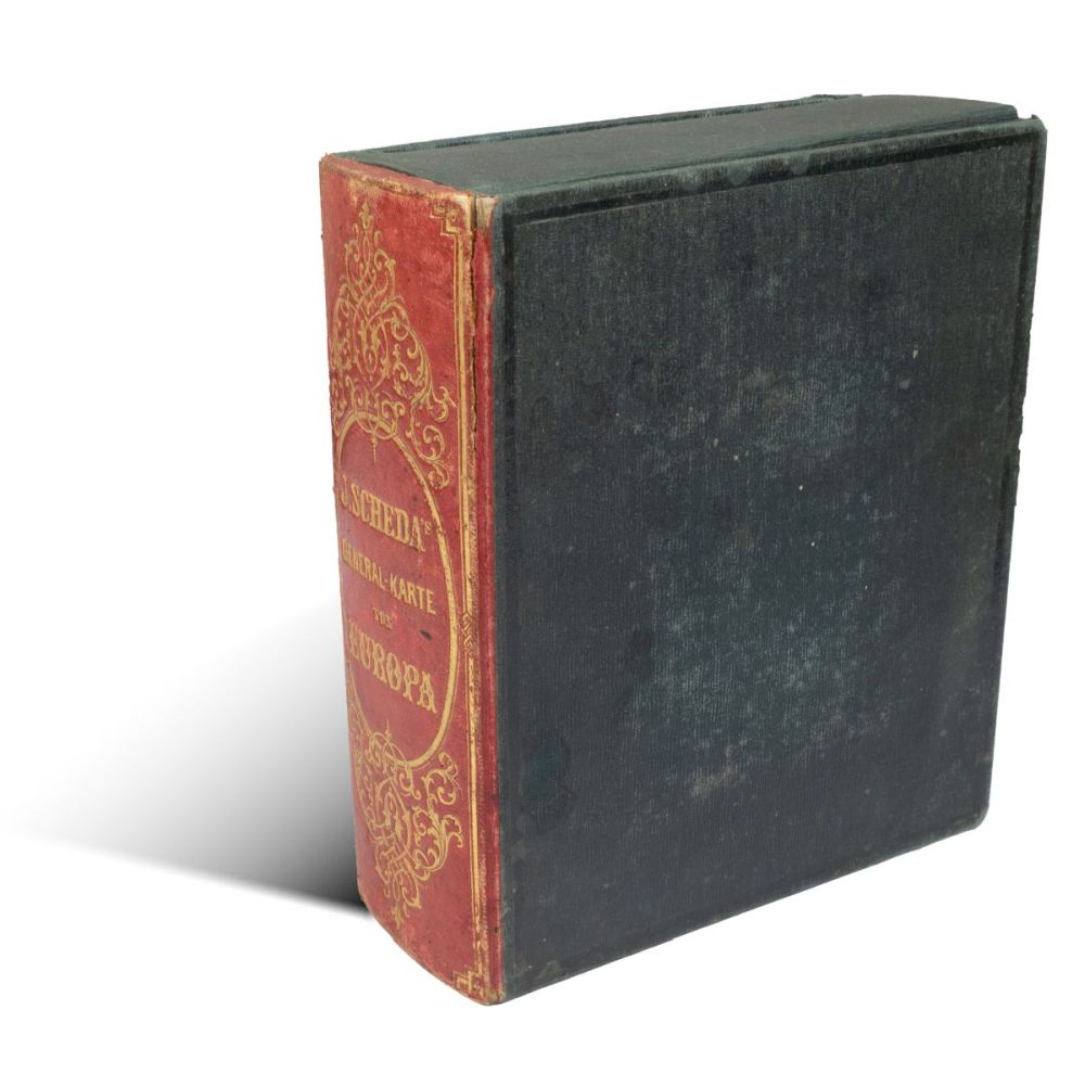
Kiadói, gazdagon aranyozott, félbőr gerincű, egészvásznas, könyvalakú védődobozban. A gerincen a bőr egy kis helyen elrepedt. A szelvényeken egy ragasztott címkével, amin az adott térkép részlete, számozása és kicsinyített mása látható. Jó példány.
The 1845–1847 first edition of the map was the first lithographic map produced with multi-colored line printing. This lot is the second edition, which covers all of Europe, including the Urals and the Caspian Sea, as well as North Africa. With a legend and a table of measurements for countries, our item does not include the overview map. Featuring a large, figurative title cartouche by Peter Johann Nepomuk Geiger.
Josef Scheda (1815–1888) was an Austrian Major General, geographer, and cartographer, a prominent figure in Austrian cartography in the fields of copper engraving and lithography. He was the head of the Lithographic Department of the Military Geographical Institute in Vienna. He contributed significantly to the international reputation of the institute, among other things, by placing great emphasis on the training of lithographers and engravers and by remarkably improving the content and technical quality of the maps. 'All of Scheda's cartographic works are characterized by both unparalleled beauty and a high degree of conscientiousness in the use of sources...' (Kretschmer–D.–W. II, 703. – ADB LIII, 737)
Publisher's richly gilt, book-shaped, full cloth protective box with half-leather spine. Small wear to spine. On the sections, pasted label showing the numbering, the details, and a reduced-size copy of the map. A fine copy.